
Oblique Panorama
Project Information
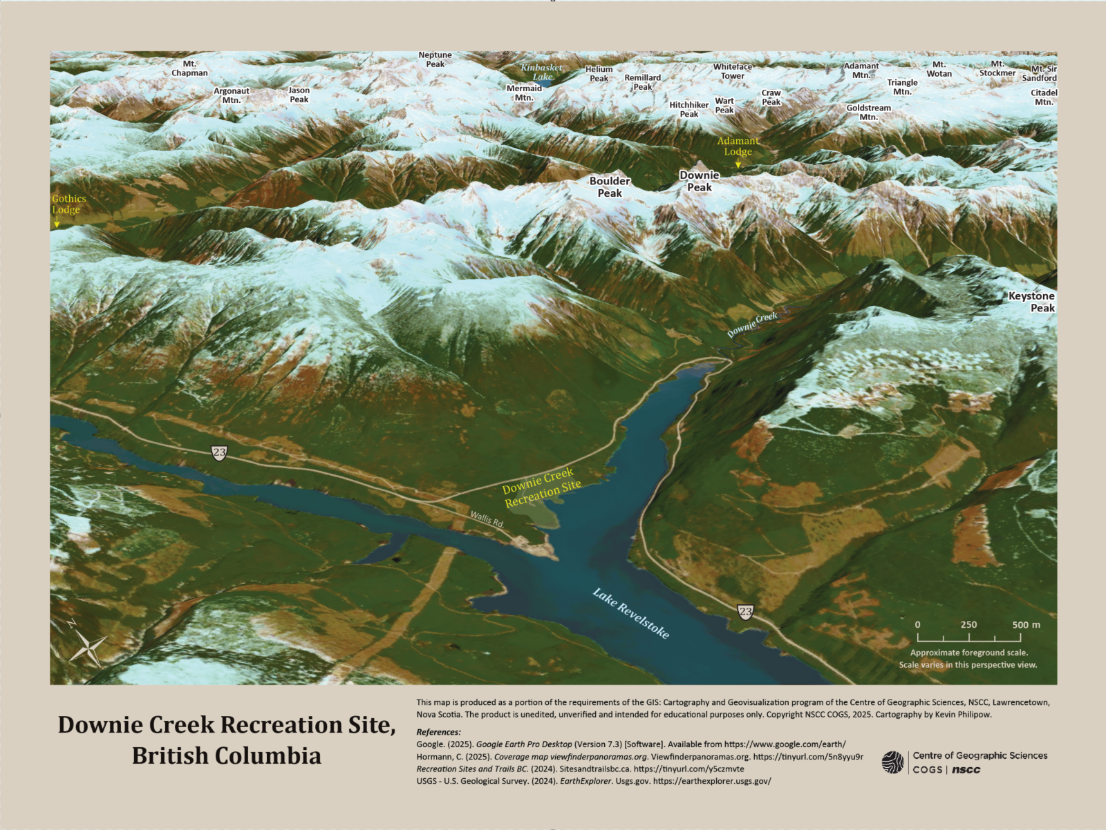
This map shows mountain peaks near the Downie Creek recreation site, in British Columbia. The goal was to create an oblique view panorama with realistic terrain using Landsat imagery and digital elevation models. It required the creation of a 3D scene in ArcGIS Pro, which was then exported and brought into Adobe Photoshop to apply the desired effects to the composite image. The map was then exported a second time and brought into Adobe Illustrator for the addition of vector features, labels, and textual elements. This project required a lot of creativity, but also careful planning as there were several factors to be taken into consideration such as dataset choices, output resolution, camera direction, pitch, elevation, and lighting.